Intro The goal of this project is to study how the voting patterns in the 42nd Canadian General Election of 2015 was influenced by socioeconomic characteristics of voters at the poll level.
The project will be split in two (lengthy) posts.
In the first post, we will clean the election results and the election shapefiles and create a map of the results. Our goal is to create a sfdata frame that will allow us to recreate this interactive map by CBC.
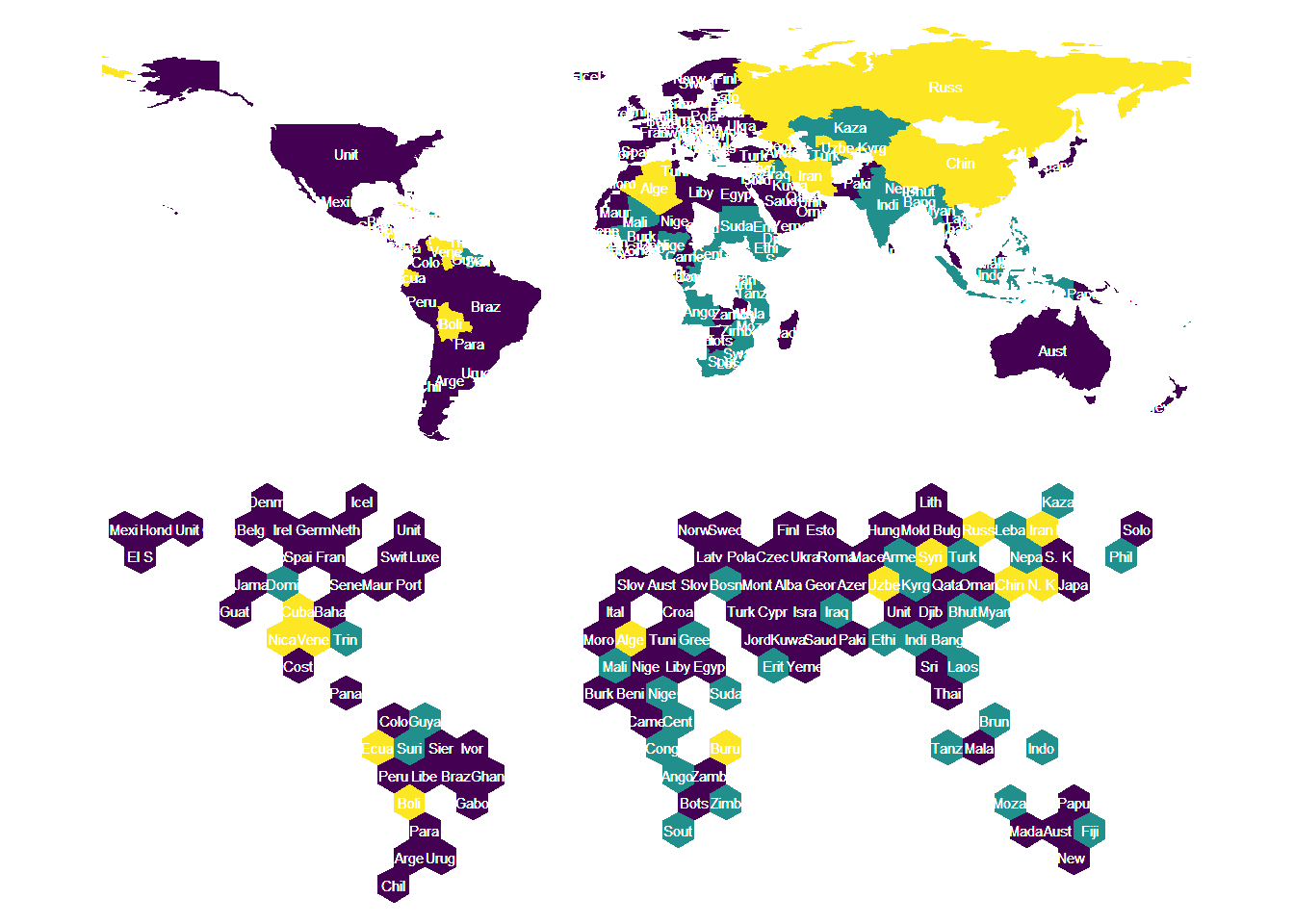
EDIT 2019: hexmapr has been renamed to geogrid. Also calculate_cell_size() has been deprecated to become calculate_grid() Today, David Robinson (@drob) tweeted about his unvotes package which contains the history of the United Nations General Assembly voting :
Check out my unvotes package, with history of United Nations General Assembly voting: https://t.co/VDQ3kGMQtf
— David Robinson (@drob) January 9, 2018 To me, this dataset just screams to be mapped. Especially on a hex map, as I have been looking for an excuse to try Joseph Bailey’s (@iammrbailey) hexmapr package since I saw this tweet two months ago:
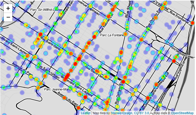
Objective In this project, we will geocode the crash data to identify the spots where the accidents involving bikes in province. This will allow us to determine in which areas an intervention to reduce the risk to active transportation would be most useful.
Data sources Open data about the 2011-2016 car crashes reported to the police come from the province of Québec’s open data portal.
The data dictionary is also available on-line.