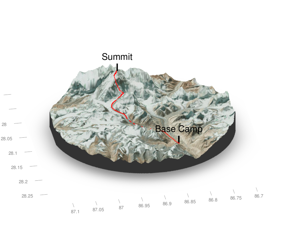
I have been meaning to use Tyler Morgan-Wall rayshader package for a while, but it was only this week that I found an idea: I want to know what the ascent of the Everest summit looks like (topographically).
So I found a GPS track that Kilian Jornet posted on movescounts.com and had a go.
The steps are as follow:
Import the GPS tracks into R using sf::st_read() by Edzer Pebesma

